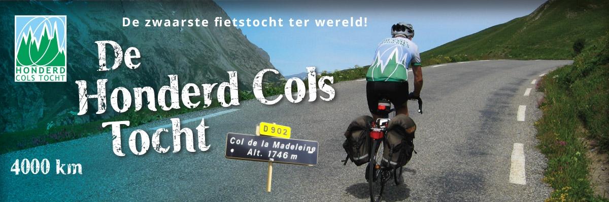
GPS
Since 2013 we have the route available in GPS-co-ordinates too.
Because we fear wide spread of the route over the internet, we have a procedure to prevent that. Please note that the inscription fee for the route is the only source of income for our organisation.
The procedure:
- Participants that have subscribed prior to 2025 may order the GPS-route by transferring the applicable fee (€ 10) to our bank account at
IBAN
NL44 INGB 0009 6460 72. Participants that subscribed after January 1. 2025 receive the GPS track automatically included in their package.
- If you order by bank transfer, mention "GPS-route", E-mail-address and registration number, indicated on the control booklet, on the address lable, Note that bank transfers do not accept the "At-sign" (@), you may use the word AT instead, for instance
"John.BakerATgmail.com"
- Every participant gets his own unique version of the
GPX-file, it contains several invisible unique features, that enable us to trace the origin of the file.
- The route is sent in a password protected ZIP-file. By opening you commit yourself to the terms and conditions. The file can be opened using WinZip, that can be downloaded free of charge from
www.winzip.com.
- The most important condition is, that you are not allowed to make any copy of the file.
- Distributing over internet is a violation of our copyright. If a file is distributed, we will charge the original owner for an indemnification.
- If you buy an update of the route package in future years, you will also get the applicable GPS-route free of charge, provided you already had a GPX-file for the old version.
We strongly advise not to rely on the GPS route only, but also use the paper version. You will need it when your GPS device fails.
The route is available as a single track of 90.000 track points in GPX-format, including elevations. GPX is supported by all known GPS-devices like Garmin, MIO, Polar and Teasy One.
You can make it fit for your device (that probably does not support 90.000 points) by splitting it up in a number of smaller parts, for example 16 parts of 250 km of 5000 track points. If the memory of your device is limited, it may also be necessary to filter the file first. This reduces resolution, thus giving a coarser track.
Filtering and splitting can be done with the free program Basecamp made by Garmin.